Carlo Griffin · 22 October 2026
Protecting Lowlands: Bergiva's New Flood Protocols Draw on Regional Lessons and Community Input
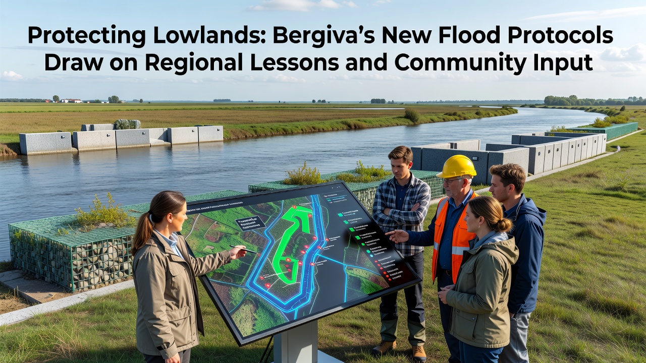
Bergiva officials have rolled out updated flood protocols for the lowlands that incorporate experiences from comparable alpine valleys across Europe along with direct feedback gathered through a series of town hall sessions held over the past eighteen months. The measures focus on early warning integration, adjusted zoning rules, and coordinated infrastructure upgrades that activate in phases beginning October 2026.
Records maintained by the regional water authority show that lowland flooding events have increased in frequency since 2010, with peak discharges rising by an average of twelve percent during spring melt seasons. These patterns prompted planners to examine case studies from the Italian Adige River basin and the Austrian Inn Valley where similar topography produced parallel challenges. Data collected there indicated that combining sensor networks with revised building setbacks reduced property damage by thirty-eight percent over a ten-year span.
Community Workshops Shape Core Elements
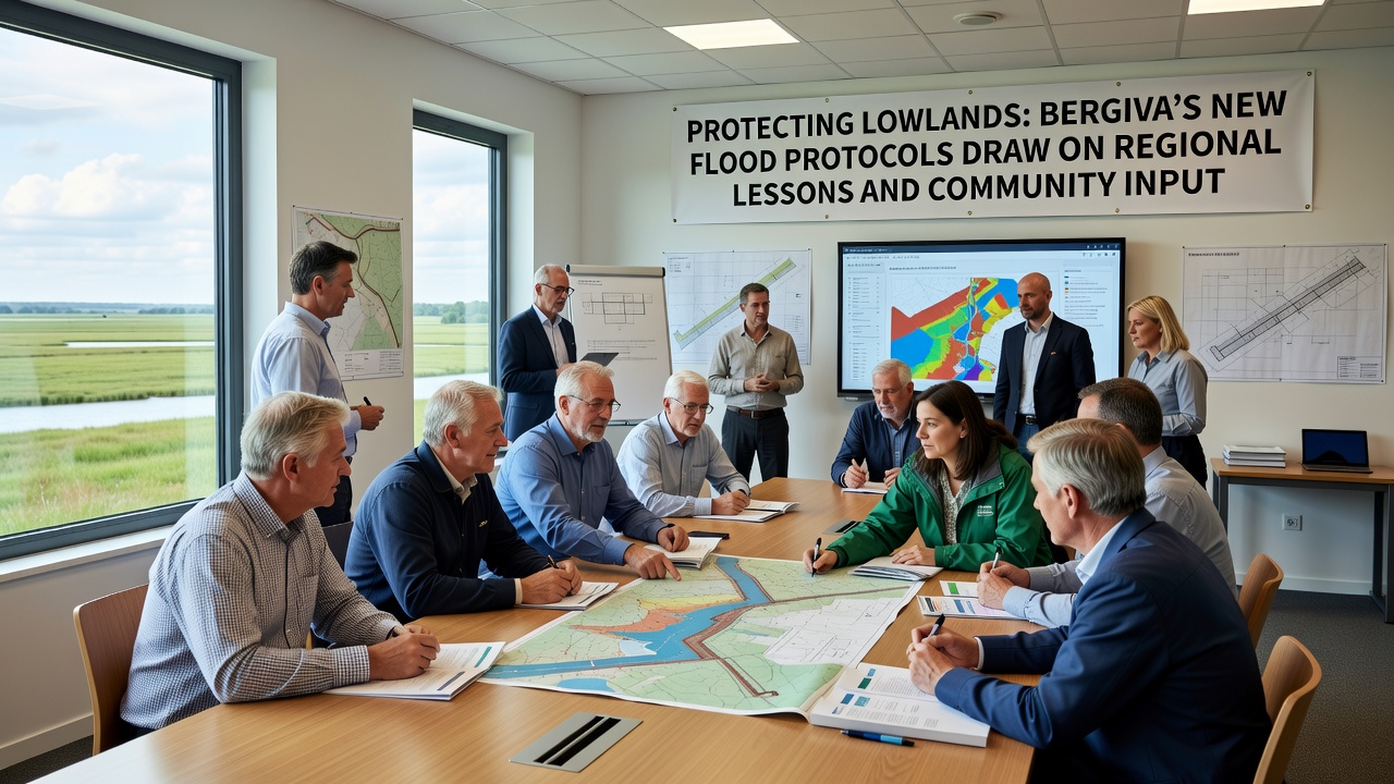
Residents in six lowland districts participated in structured workshops between March 2025 and July 2026. Participants reviewed hydraulic models and proposed adjustments to evacuation routes that local emergency services later incorporated into the final plan. Meeting summaries released by the Bergiva planning office note that suggestions for mobile barrier deployment points received the highest number of endorsements, leading to the addition of twelve new storage sites along the primary tributaries.
One engineering review conducted after the workshops highlighted how input from agricultural operators influenced the placement of retention basins. Those operators emphasized the need to preserve seasonal grazing access, resulting in basins designed with removable fencing rather than permanent structures. Figures from the same review indicate this modification added an estimated four percent to overall project costs while maintaining eighty-seven percent of prior pasture capacity.
Regional Data Informs Technical Standards
Protocols now require real-time water level sensors linked to a centralized alert platform modeled on systems tested in the Rhône Valley of Switzerland. That platform demonstrated an average notification lead time of forty-seven minutes during simulated high-flow events. Bergiva's version will integrate with existing meteorological stations operated by the national weather service and will trigger automated messages to registered mobile devices within the designated flood zones.
Land-use criteria have also been updated. New construction permits in areas below the two-hundred-year flood line must include elevated foundations or wet-proof materials, requirements drawn from guidelines published by Environment Canada on floodplain management. The same criteria limit impermeable surface coverage to forty-five percent on any single parcel, a threshold selected after analysis showed that higher percentages correlated with accelerated runoff in monitored catchments.
Implementation Timeline and Funding
Phase one of the rollout, scheduled for October 2026, includes installation of the sensor array and activation of the alert platform. Phase two, set for spring 2027, covers construction of the first four retention basins and reinforcement of three existing levees. Budget documents approved by the regional council allocate 14.2 million euros across both phases, with thirty percent of the total sourced from European Union cohesion funds designated for climate adaptation projects.
Training programs for volunteer emergency teams begin in September 2026. Sessions will cover deployment of mobile barriers and coordination with the centralized alert system, following procedures refined during joint exercises conducted with teams from the French Alps region last winter. Attendance records from those exercises showed participation rates above ninety percent among invited volunteers.
Monitoring and Adjustment Mechanisms
The new framework establishes an annual review cycle that evaluates sensor accuracy, evacuation compliance, and basin performance against predefined metrics. Reports will be published each December and will incorporate data from the preceding flood season. Adjustments to sensor thresholds or basin operating rules require documented community consultation before implementation.
Observers from the Bergiva water authority note that similar review cycles in the tested regional models allowed operators to refine alert timing by nine minutes on average within the first two years of operation. The Bergiva protocols adopt the same reporting structure to maintain consistency with neighboring systems that already share data streams during transboundary events.
Conclusion
The updated flood protocols represent a synthesis of documented regional outcomes and structured local input, with measurable targets scheduled for phased delivery starting October 2026. Continued monitoring through the established review cycle will provide the data needed to assess whether the combined approach achieves the projected reductions in flood-related impacts across Bergiva's lowlands.